
|
| Fig. 4: A securely measured plan of Maastricht, made by the French in 1749, was the base for the 3D-model |
The French military made active use of 'plans reliefs', or scale models, to plan their military strategies and for the defense of conquered fortified towns. Not only the part of the city within the walls was accurately mapped, but also the surrounding landscape. Earlier - after the conquest of Maastricht by the French in 1673 - a model of the city was made, but it has been lost. The model of Maastricht used for this project dates from the period 1748-1752 and was made after the capture of the city by the French army in 1748. The model was originally displayed as a military prestige object in Paris in the palace of Louis XV and, 270 years later, can still be found in the northern French city of Lille.
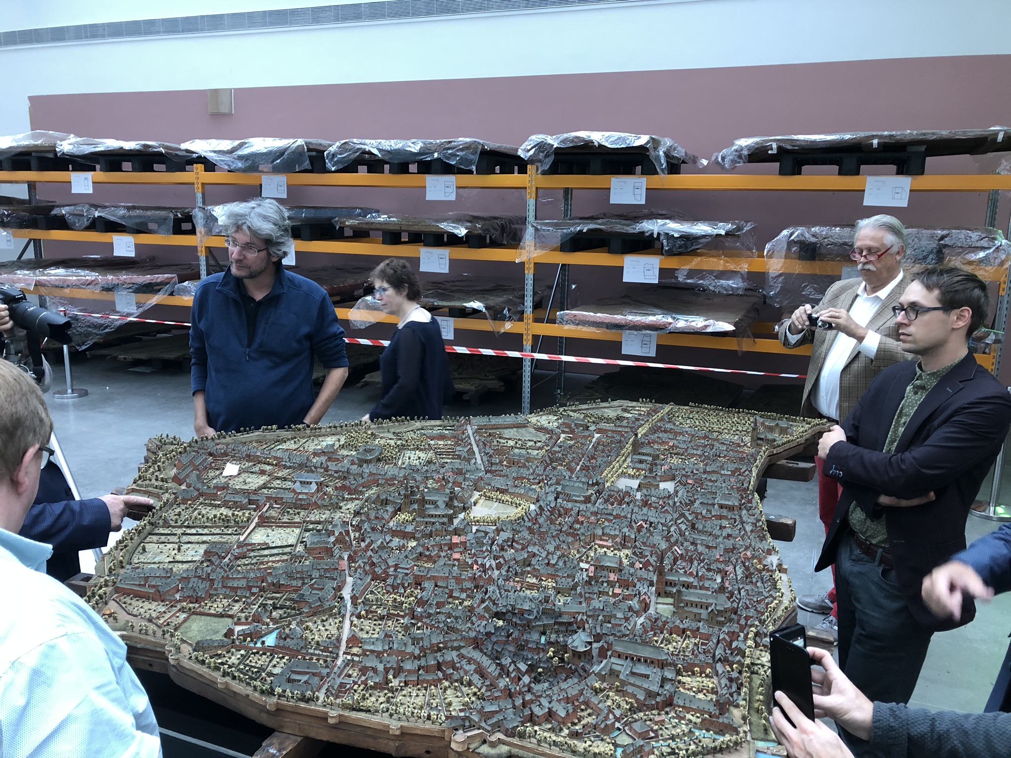 |
| Fig. 5: The model of Maastricht as it was photographed during the cleanup in 2018 in Lille (France) |
The model was cleaned in 2017 and on behalf of the municipality of Maastricht 3D digitized in 2018. The model provides a fascinating view of the old city. It is used for PURE3D/Maastricht as the basis for these various guided tours. Not only is the scanned model available for this purpose, but also the map of the city from 1748, which has been handed over as a drawing.
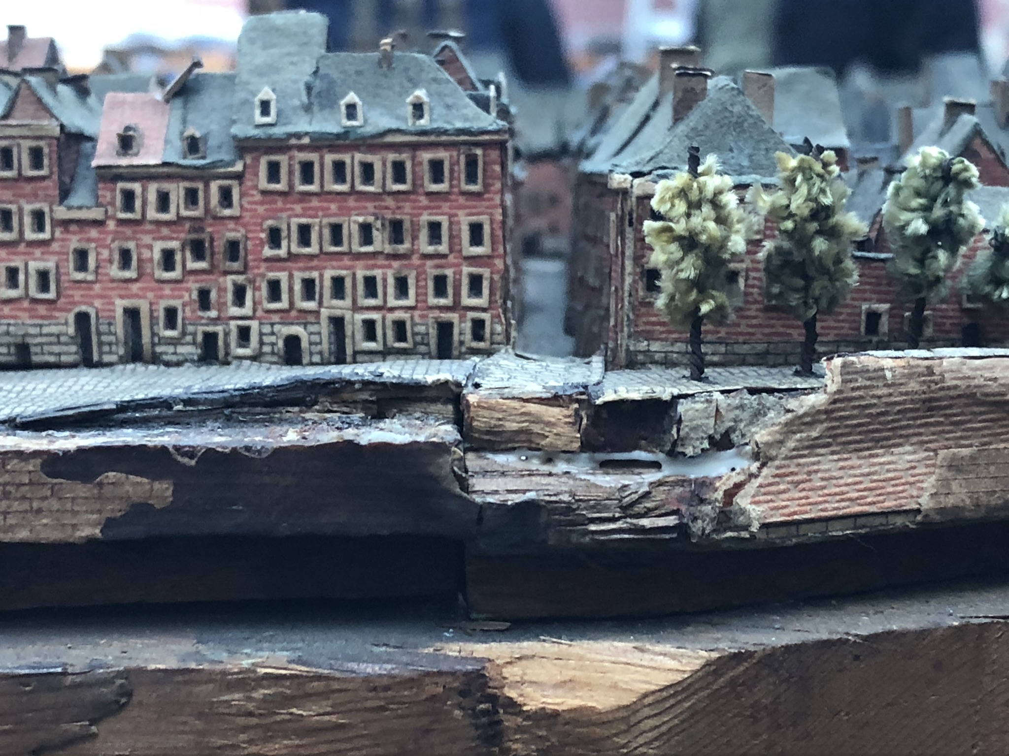 |
| Fig. 6: A view from the side of one part of the model shows how it was made out of wood, board and paper and how well it was conserved over all of those years |
The model is based on accurate measurements of the city by soldiers and surveyors and is astonishingly correct. Unfortunately, the individual building notes on which the measurements are based, have been lost over the years. Large parts of the monumental city center of Maastricht can still be seen on the model and the images of the model can be recognized in the streets today.
Reference:
Jenniskens, A. H., De maquettes van Maastricht, Maastrichts Silhouet nr. 64, Stichting Historische Reeks Maastricht, Maastricht 2006.