|
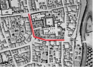
| Fig. 28: Location of the Onze Lieve Vrouweplein |
This street used to bear many names, including Onze Lieve Vrouwe convent, Cloesterstraet, Coolpoortstraat (the southern part) or Onze Lieve Vrouwekerkhof (the northern part). The road lies on the west and south side of the current square with all its terraces. Cloesterstraet - meaning Cloister Street - refers to the claustrum, the part of the city assigned and recognized to the Chapter of Our Lady where their immunity applied to their own ecclesiastical jurisdiction. Some houses were also called ' Onze Lieve Vrouwekerkhof ', especially claustral houses 12 and 13 (the current presbytery annex chapelany between Hotel Derlon and the Merode chapel) and house 14. The small claustral house no. 14 has been demolished and was located on the southwest corner of the Onze Lieve Vrouwekerk (Church of Our Lady), against the church walls and actually in the cemetery. It can be clearly seen on the 1748 model. The sacristan (the church steward) lived here. The southern part of the Onze Lieve Vrouweplein, towards the Maas River, was also called Coolpoortstraat, because it led to the Koolpoort (kool means coal, sometimes cabbage). Various versions of the earliest city maps of Maastricht depict small houses on the street side of the cemetery of the Church of Our Lady.
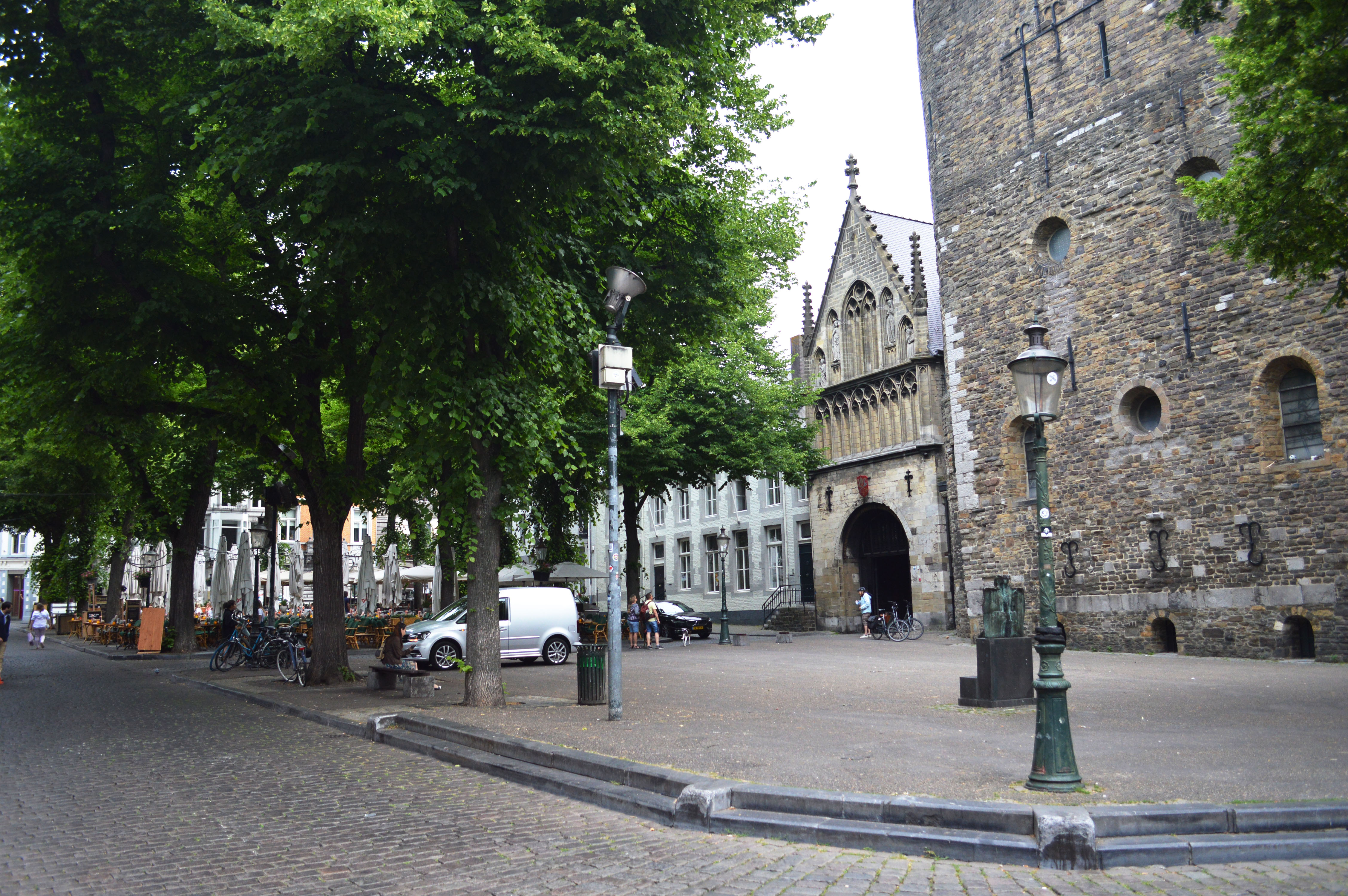 |
| Fig. 45: The Onze Lieve Vrouweplein today |
Reference:
Schaepkens van Riemst, J., “Eenige bijzonderheden omtrent straten, pleinen en bewoners van het oude Tricht”, in: Publications de la Société Historique et Archéologique dans le Limbourg, 43 (1907), 39-369; PSHAL 67 (1931), 187-232; PSHAL 68 (1932), 71-112; PSHAL 69 (1933), 63-86.